Desert Maps

Alex has made some adjustments to his Alpine algorithm for TextMapper to get better desert terrain – e.g. Australian. Lots of generic rpg maps assume European type things – e.g. cool to cold, whereas Australia is temperature to equatorial, in general.

This one is a nice example https://campaignwiki.org/text-mapper/alpine/document?width=52&bottom=3&peaks=7&bumps=2&height=48&steepness=4&peak=10&bump=2&arid=0&climate=desert&type=hex&seed=693329917
Mokuy – Terra Australis

This is Australia as known circa 1800 – there is the colony at Port Jackson/Sydney and up the Hawkesbury River to Coal River/Newcastle.

Van Diemen’s Land also had British settlers in 1803. Unfortunately, a Ruby time travel destructive side effect put paid to that. The coastline mapped, but the continent is just a big hexcrawl at this time.

https://nla.gov.au/nla.obj-703257590

Matthew Flinders Terra Australis map
Terra Australia

Dungeon23 – Mokuy hex map Australia – version 1

Not actually called Australia circa 1830 of course, but for reference.

Mokuy Australia hex map

A few different terrain types I think:

  • Coastal
  • Mountain
  • Desert
  • Rainforest
  • Heavy Bush
  • Bush
  • Alluvial
  • Grassland
  • Volcanic – for Lord Howe Island, or as the more egotistical residents like to term it, Ruby Base
  • Pine – for venturing to Norfolk Island

    Version with coordinates to come

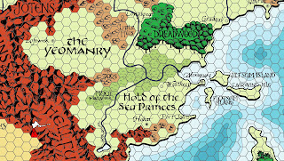
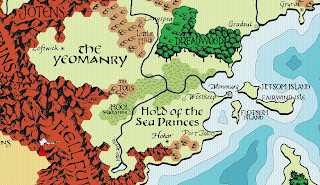
    The Digital Darlene Greyhawk Map

    https://batintheattic.blogspot.com/2021/12/happy-needfest-digital-darlene-greyhawk.html

    One of the Greyhawk maps – huge amount of work, so thanks very much!
    6 mile hex map! Now I maybe to make a geospatial version of this?

    %d bloggers like this: